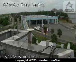
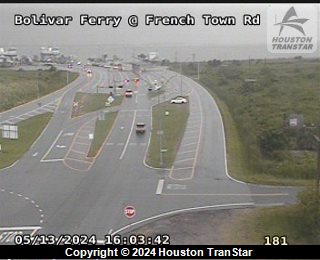
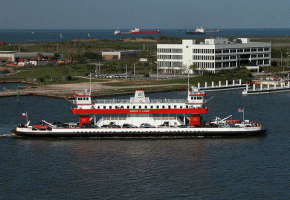
Galveston-Bolivar Ferry Information
The Galveston-Port Bolivar ferry is the bridge between two segments of State Highway 87. South of IH-10, State Highway 87 is the only highway around Galveston Bay. The free ferry service provided by the Texas Department of Transportation (TxDOT) is the only way motorists can cross the waterway between Bolivar Peninsula and Galveston Island. For more information, visit TxDOT's ferry information page.
- Trip Length
- 2.7 miles
- Typical Duration
- 18 minutes
- Average Loading Time
- 9 minutes
|
|
Current Ferry Locations
|