1993
Houston TranStar launched as the country’s first four‑agency consortium, enhancing mobility and emergency coordination while also beginning to collect speed and travel‑time data using toll tags across the region.
Houston TranStar evolved over three decades as a regional partnership improving transportation and emergency management across Southeast Texas. Key milestones include the integration of agencies, expansion of real-time traffic systems, development of traveler information tools, major facility upgrades, and enhanced hurricane evacuation and disaster response capabilities.
Houston TranStar launched as the country’s first four‑agency consortium, enhancing mobility and emergency coordination while also beginning to collect speed and travel‑time data using toll tags across the region.

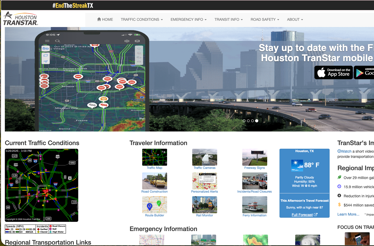
Houston TranStar launched its first public website and real‑time traffic map, offering residents immediate access to live roadway conditions and creating a new standard for transparent, region‑wide traffic information.
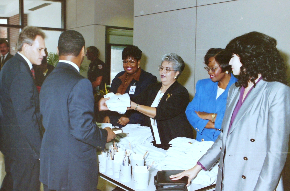
Houston TranStar officially opened its doors to the public, establishing a centralized transportation and emergency management center that improved regional coordination, real-time traffic monitoring, and incident response across Greater Houston and Southeast Texas.
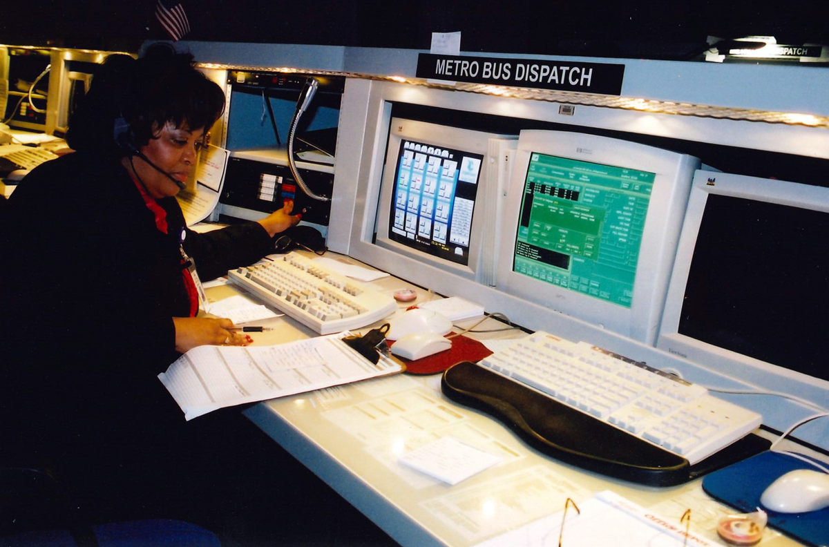
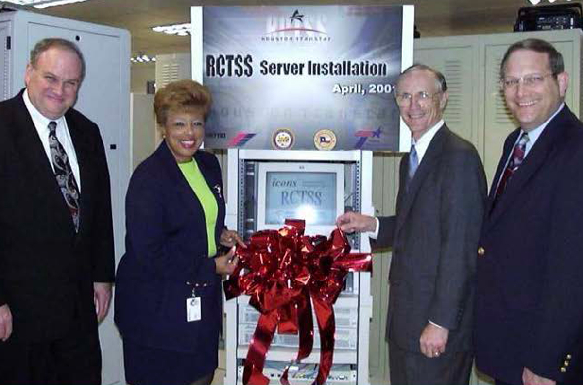
METRO relocated its bus dispatch operations to Houston TranStar, improving coordination between transit, traffic management, and emergency response agencies while enhancing real-time communication, incident response, and regional mobility throughout the Greater Houston area.
Houston TranStar began publishing real‑time freeway incident reports on its website, giving the public quick, reliable visibility into roadway conditions and improving regional awareness, safety, and travel decision‑making.
Houston TranStar began sharing live video data with regional TV stations, expanding public access to real‑time traffic visuals and strengthening community awareness through accurate, timely roadway information broadcast directly to viewers.

Houston TranStar was recognized by the FHWA with the Outstanding Traffic Information Website award, highlighting the agency’s leadership in delivering accurate, accessible, and innovative real‑time roadway information to the public.
METRO launched Houston’s first rail line and introduced its mobile website, expanding public transit options while improving commuter access to real-time transportation information and regional travel resources across the Greater Houston area.

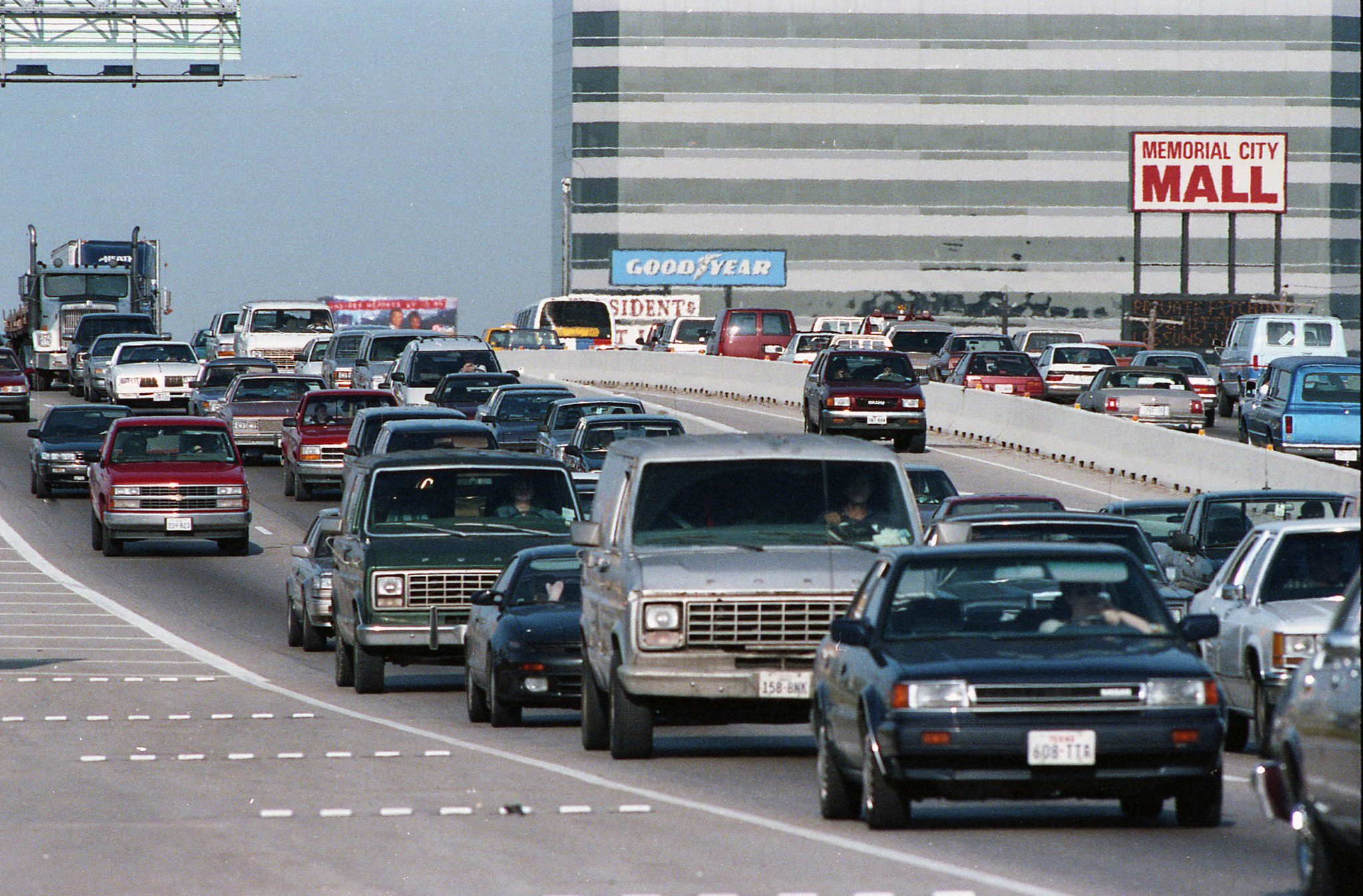
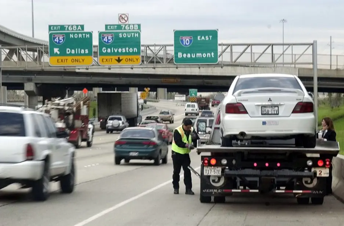
The City of Houston launched the SAFE Clear tow service, providing rapid removal of disabled vehicles to reduce congestion, improve roadway safety, and keep Houston’s freeways moving more efficiently for all travelers.
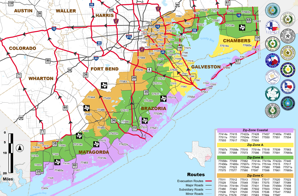
The Houston-Galveston Area Council Hurricane Evacuation Map added Zip Zones, improving evacuation planning by organizing regions into easier-to-follow zones and helping residents better prepare for severe weather and emergency evacuations across Southeast Texas.
Houston TranStar developed a mobile website for the iPhone and launched an interactive hurricane evacuation map for first responders, improving mobile access to transportation updates, emergency planning, and real-time evacuation coordination across the region.

Building expansion efforts continued through 2014, with the new third floor completed in December. This allowed for the Harris County Office of Homeland Security and Emergency Management (HCOHSEM) staff being centrally located for the first time.

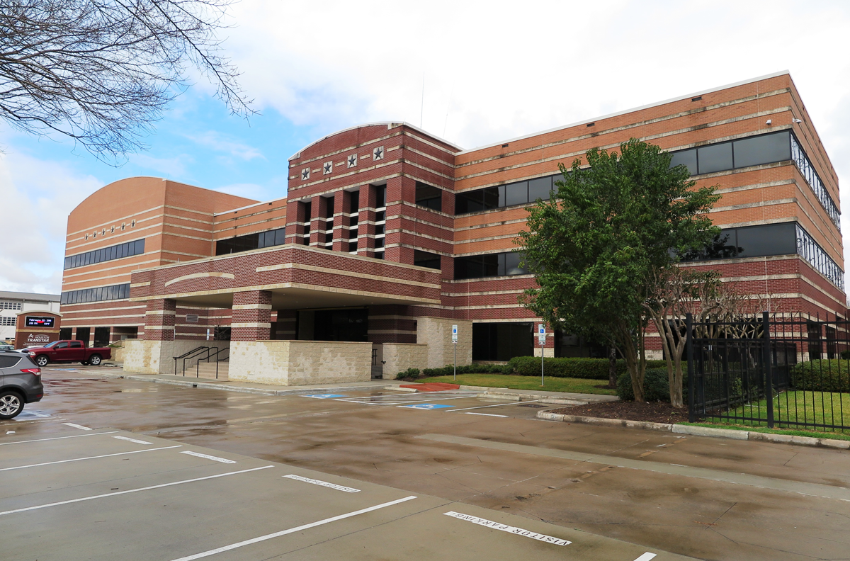
Houston TranStar completed a $12.2 million, 26,000-square-foot expansion, enhancing its regional traffic management and emergency operations center to improve coordination, technology capacity, and real-time response across the Greater Houston transportation network.
6922 Katy Road, Houston, TX 77024
HOME | OUR STORY | INNOVATION & MOBILITY | PARTNERS IN SAFETY | DRIVING THE FUTURE | MEDIA CENTER